
Find your way out.
Turn a photo of a corn maze map into a phone app that shows where you are and the way out.
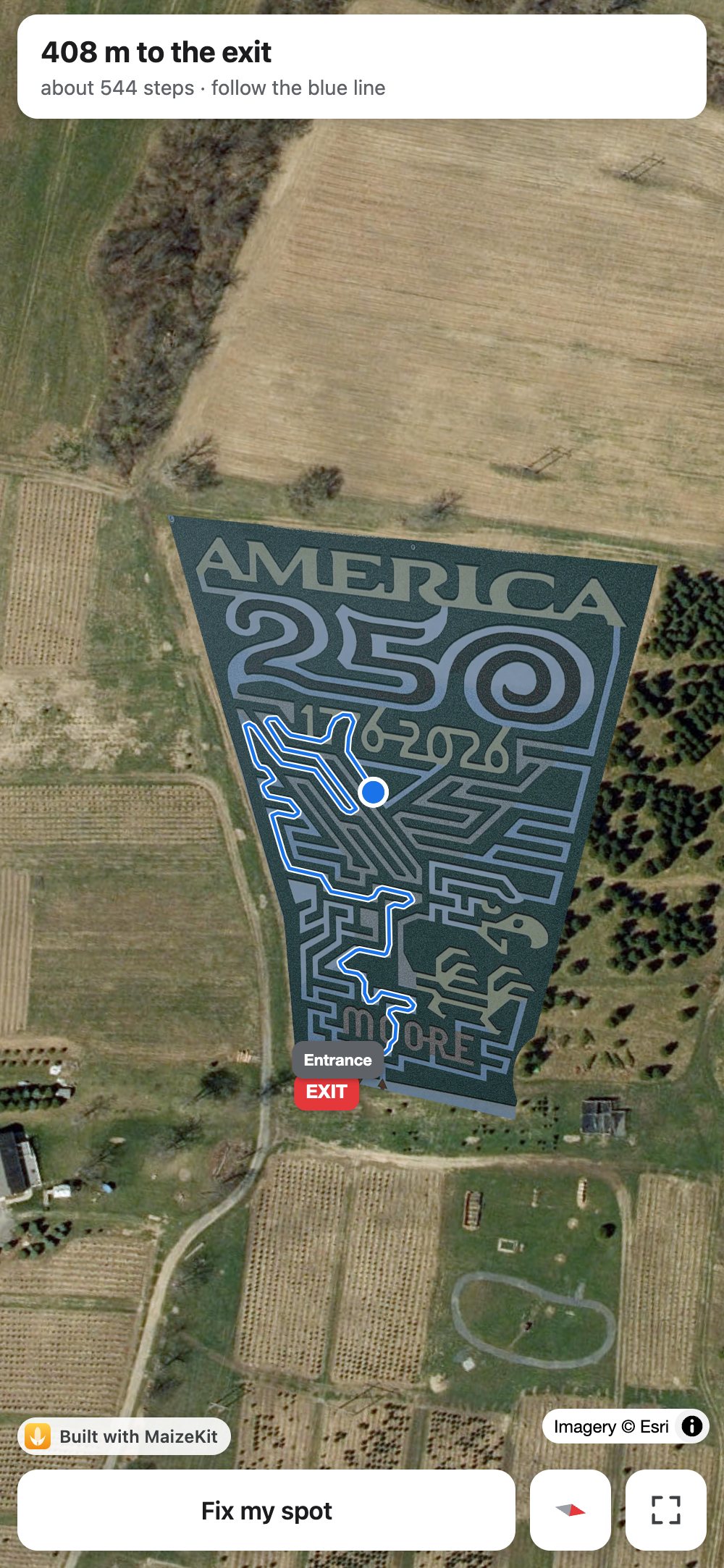
How it works
From the sign
to your phone.
Most corn mazes post a map at the entrance. That photo is all it takes.
- 1
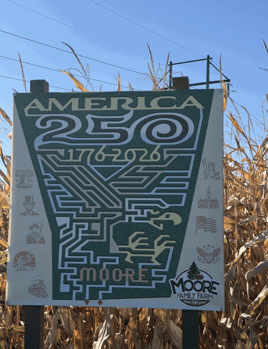
Photograph the map.
The sign at the entrance, or an aerial shot.
- 2
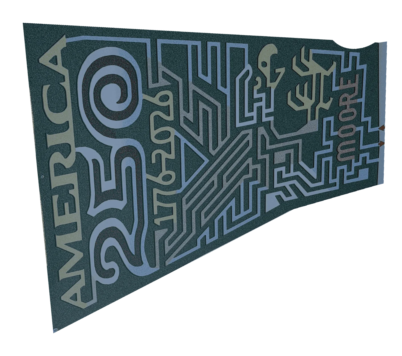
Line it up.
Fitted to the real field on satellite imagery, every path found.
- 3
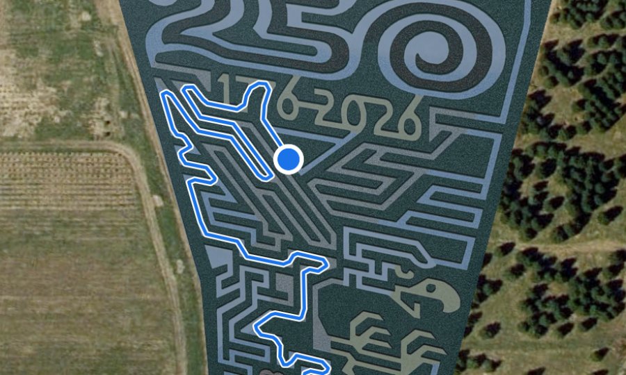
Walk out.
Your dot, and the way to the exit from wherever you are.
Under the hood
It learns what corn
looks like.
Every map is different: painted signs, drone shots, sun and shadow. So MaizeKit reads each one on its own terms.
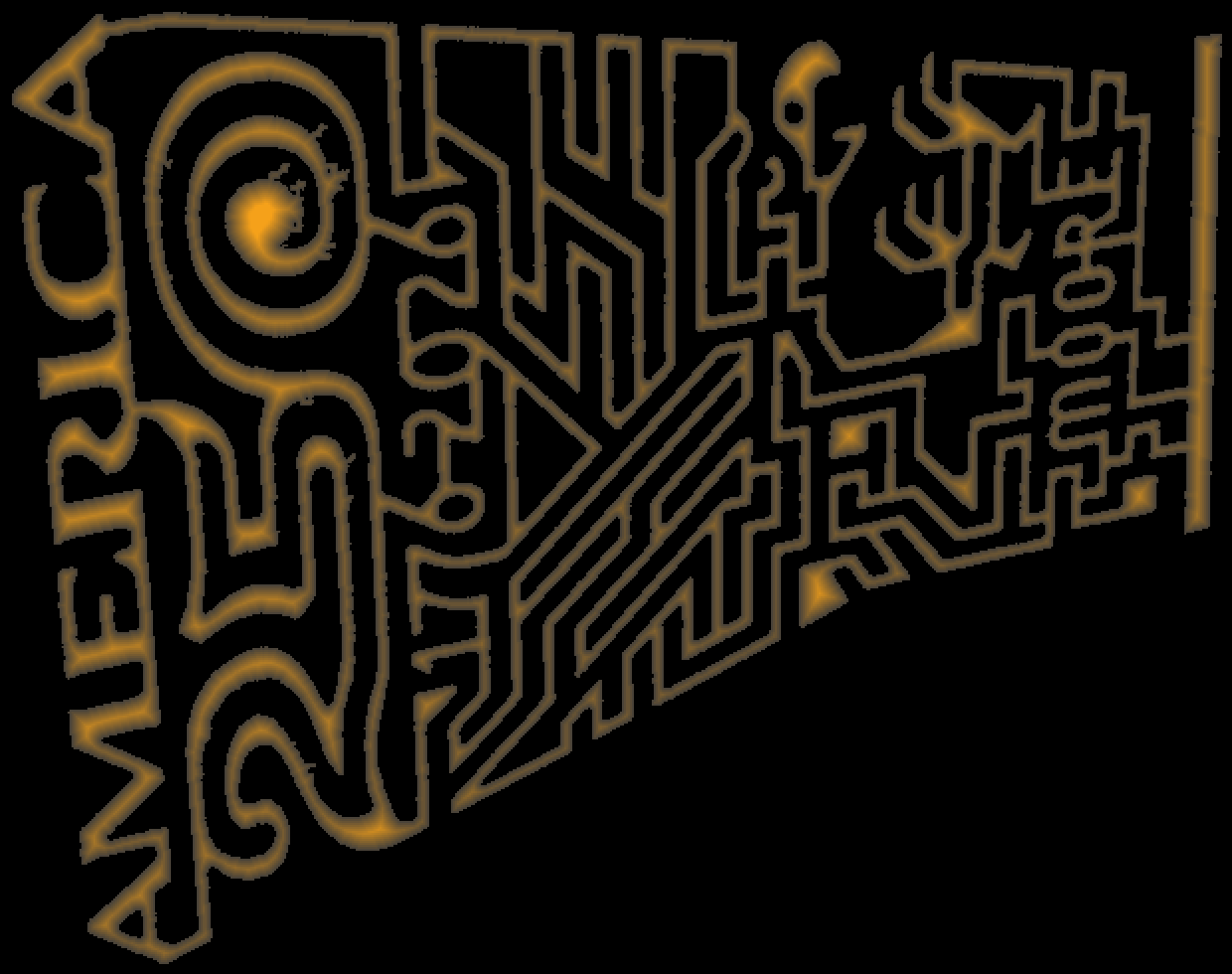
- Learn the corn. Most of a maze is corn, so its typical colour is the corn.
- Find the paths. Anything clearly different, lighter or darker, is path.
- Drop the noise. Gaps too narrow to walk, like the space between rows, are ignored.
- Route down the middle. Every route keeps to the centre of the path.
How aerial photos are read. See the code
Everything you need.
Nothing you don't.
You are here.
A blue dot on the maze, from your phone's GPS.
The way out.
A route along the real paths to the exit, from wherever you're standing.
Fix my spot.
GPS a row off? Tap where you really are.
Steady.
The route holds through GPS wobble instead of jumping rows.

Scan to start.
Every maze gets a printable entrance sign with a QR code.
Private by design.
No server. No accounts. Your location never leaves your phone.
Free for every farm.
Send us a photo of your maze map and your address. We'll set it up and send you the link.